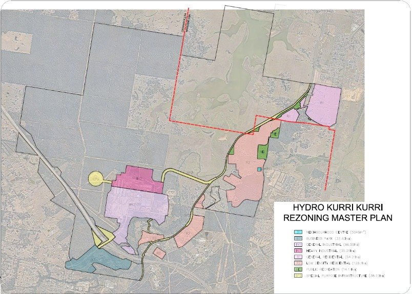
Rezoning
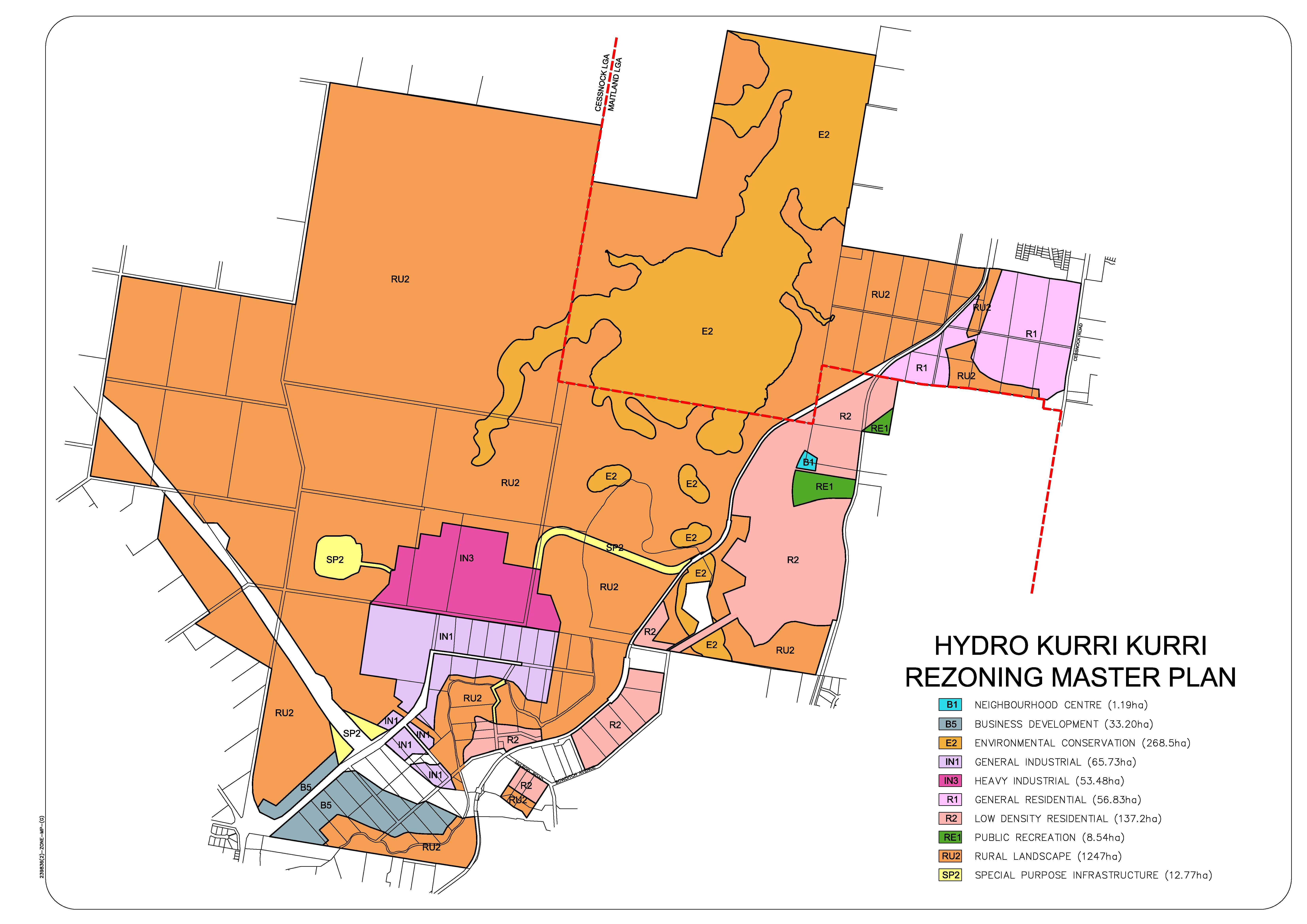
The rezoning of the land reflects the combined results of the environmental assessment, stakeholder consultation and strategic planning work completed for the site. Both Cessnock and Maitland Councils have assessed and endorsed the rezoning for the portions of land within each local government area.
Residential land
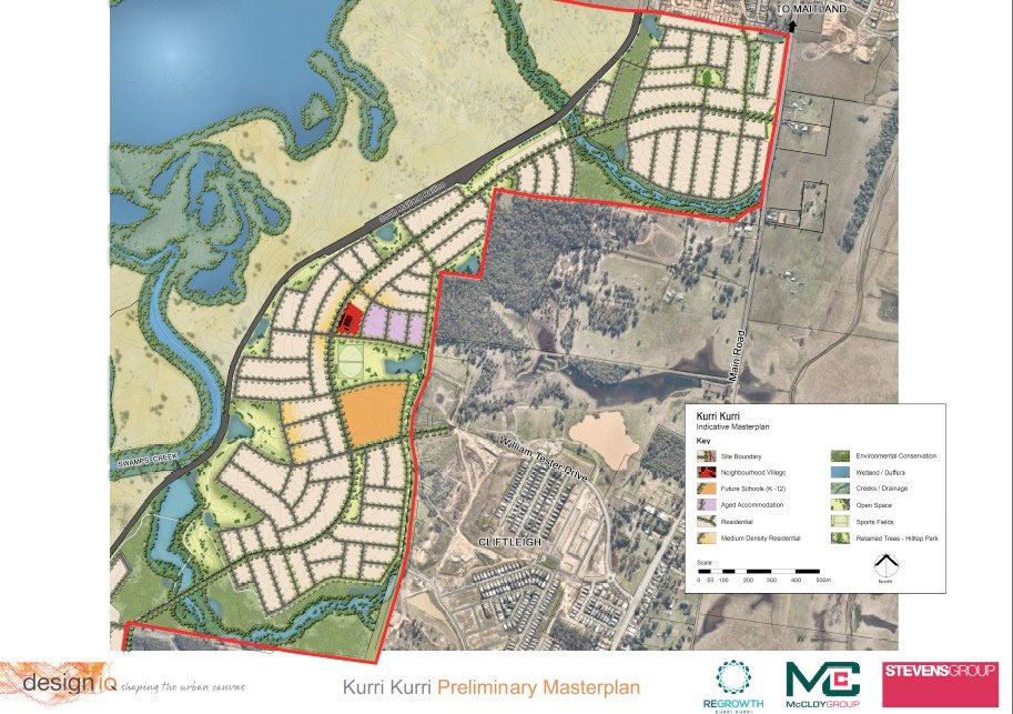
The rezoning is based upon an environmental and land capability assessment which identified that land within the eastern area of the site is suitable for future residential development.
The development of this land is a logical extension to the existing urban release areas and in an area that both councils consider will continue to grow. In the long-term the residential land will provide connection across the government boundaries through infrastructure, and open space networks that will service both communities.
Employment land
The former aluminium smelter had historically been a large employer within the region. Hydro Aluminium’s vision for the Regrowth project was to provide an opportunity to once again provide for long-term employment within the Hunter. The site is centrally located within the Hunter region and benefits from its proximity to the Hunter Expressway and the Hart Road interchange.
To the south of the Hunter Expressway, the rezoning plan identifies an area of land rezoned as a Business Park. The Business Park will provide opportunities for service industries, large format retail, office, and light industry, as well as businesses that support the larger employment area.
The site has the long-term capacity to host a variety of businesses and to generate a considerable number of jobs for the region.
Conservation land
The smelter buffer zone has long been home to a range of native flora and fauna, including threatened ecological communities such as Lowland Redgum Forest, Kurri Sand Swamp Woodland, and Spotted Gum – Red Ironbark Forest.
Development of the land requires that certain levels of native land be conserved to balance potential vegetation loss when other land is developed.
The development footprint has been designed to maximise the use of already cleared or degraded land, thereby reducing the impact on land of high conservation value. The offset for any affected land will be preserved and managed in perpetuity under a Biodiversity Stewardship Agreement.